Data themes included are Boundaries, Geographic Names, Transportation, Contours, Hydrography, Land Cover, Shaded Relief, Trails, etc. USFS TOPO MAP The USFS Topo Map Area of Interest covers the USFS National Forests and Grasslands. HIKING TRACKER Now you can track all of your hiking stats! - Track total distance, vertical, time - Track calories burned - Keep track of yearly stats - Color coded tracks by elevation - Backup your hike data to iCloud - iOS 14 home screen widget Have questions? Feel free to contact me at [email protected]


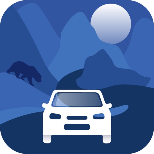
Topographic Maps & Trails
View in App StoreGrow your in-app revenue
while we take care of your subscription management.
Mobile
SDK by Qonversion.
Price Intelligence based on:
213,534
apps aggregated
8,172,290
in-app prices defined
89
main categories
In-App Purchase Price (Subscription or Non-Recurring)
vs. average for the Navigation category, $, by region
Build, analyze, and grow in-app subscriptions
with the most powerful mobile SDK for subscriptions
User Reviews for Topographic Maps & Trails
I like this but have a question
I use this app on my daily hikes and walks and I like keeping a visual record of my outings. My question is what the colors represent in the track graphics. I hike some pretty steep hills and while at first I thought the red-green color variation represented incline, it doesn’t seem to correlate, so now I’m thinking it represents horizontal speed. It would be nice to know. Otherwise this is the tracker that I’ve been waiting for. Thanks!
Very Solid App
The app is very easy to use and works great. I wish the maps tab and the tracker tab were combined so I don’t have to flip back and forth. I also wish there was a button to center the map on the current location. I used it in a hike last weekend and it worked great otherwise. Used very little battery.
Maps in my pocket!
Love maps in general and I’ve always dug topo maps to visualize my present location in relation to physical features when I’m out and about. Topo gives me everything I’ve wanted to have in a convenient, versatile, great looking app. I’ll keep my paper maps for kitchen table planning/dreaming and as backups, but Topo is my new traveling companion 8-). Get it.
Fantastic Topographic App
It’s much more difficult to get Topo maps. This allows you to get maps and then go for hike and your path will be recorded. The maps and altitude lines are clearly rendered and useful for route finding.
Absolute waste of 5$
Bought this app for the soul purpose of using the topography feature. Neither map shows any elevation lines, height or anything of that matter. Identical to the standard apple map layout. It does show more rivers and streams than a casual map would. Ive tried this app using my wifi, in different locations, and I've even gone to the extent of downloading a map to see if it changed anything. It doesn't. Very disappointed… do not waste your money. Learn from my experience.
Impressed new user
I have not used any other Topo map apps, but I’m amazed that this one works with such ease. I remember having to send a letter to the USGS and wait for them to mail back the large map from which you could choose which smaller Topo maps you wanted. Then you had to mail your choices back along with your payment and then wait for the maps to be mailed back to you.
Great maps
I’ve been using USGS 7.5’ maps for the past two decades both for work and pleasure. This app has integrated the same data into a user friendly mobile database. A similar Topo app requires you to pay for the same detail that is free here as well as on the USGS website. Thank you for the hard work and detail you’ve put into this app. I haven’t had the chance to use this offline yet but I’ll be testing it out soon.
Planning & Navigation
Pros: 1. Download a topo for a hike. 2. Once tracking is started, a satellite view is presented. 3. You can use tracking mode with satellite view to plan. I discovered this while reviewing a recent hike because there was an old logging road on the satellite view that was not on a topo or Google Earth. 4. Mileage is good.Cons: 1. I like the satellite view, but it hides the Topo map & thus the trails during a hike. Haven’t figured out how to surmount that.2. Unless you are in cell range, elevation gain is always way low. Even if you just took your lowest elevation and subtracted it from highest, Topo Maps would be low by at least 25%. 3. Thus far, I cannot find anyway to drop a waypoint or plan a track — e.g., usingTopo as a planning tool.That said, I love using it for planning & hiking new areas.
Great service
I wrote a review about a week ago because the new update caused the app to crash and without delay a new update was available and i am back up and running. Thanks for the fast service keep up the great work
Amazing app with even more amazing support
Honestly I wish every app had the level of support behind it that this one does. I wanted to buy it for my hikes in areas with no data service, and liked what this one had to offer. I still had some questions though before purchasing, so I emailed developer. Within a few hours, I had a reply answering my questions. I bought the app and I’m extremely pleased with how it operates. But I’m even more impressed with the support. Since then, I’ve emailed with more questions and get a reply back immediately. Thank you for setting the bar (actually going way beyond) of what should be expected from app developers. I will recommend this app and your other apps to everyone I know.
Description
** The #1 Topo Maps App for iOS ** MAIN FEATURES INCLUDE: - USGS Topographic Maps - USFS Topographic Maps - Satellite + Topo Maps - Hiking Tracker * Download all maps for offline use USGS TOPO MAP USGS Topo is a tile cache base map service that combines the most current data in The National Map (TNM), and other public-domain data, into a multi-scale topographic reference map. TOPO + SATELLITE USGS Imagery Topo is a tile cache base map of orthoimagery in The National Map and US Topo vector data. Orthoimagery data are typically high resolution images that combine the visual attributes of an aerial photograph with the spatial accuracy and reliability of a planimetric map.
More By This Developer


You May Also Like


POWER SUBSCRIPTION REVENUE GROWTH
