FEATURES “X-Mapper Lite” works combined with the computer version of X-Plane flight simulator. It offers a simple but useful functionality to the simulator: tracking the location and the heading of the simulated aircraft in the real-world map. It can be used for following purposes: –Watching topography and street patterns for more precise pilotage navigation. –Making aware of world-wide geography for more joyful sightseeing flight. –Tracing accurate traffic patterns for more efficient training. –Getting details of taxiways and facilities in complicated airports. HOW TO USE Launch X-Plane on a computer and follow in-App instructions to setup network connection. The location and heading of the simulated aircraft will be displayed with an orange icon when settings completed and a network connection established. You can switch Tracking Mode (auto scrolling) by airplane button. Other map manipulations are same as the standard “Maps” application. MULTI-DEVICE CONNECTION You can connect up to four iPhone/iPad devices running multiple X-Mappers at the same time. Download and install X-Mapper Lite for each device. GETTING X-PLANE Desktop (Mac/Windows/Linux) version of X-Plane 9 (9.69 or later) or 10 is required to use this application: It can’t be used for Mobile (iPhone/iPad) version of X-Plane. Open “Obtain X-Plane” from the ⓘInfo Menu for ordering the full version or downloading the free Demo version. Please refer to help message in the application for detailed instructions.


X-Mapper Lite (for X-Plane Desktop)
View in App StoreX-Mapper Lite (for X-Plane Desktop)
4
Age Rating
4+
Seller
Asahi Technoservice, Inc.Grow your in-app revenue
while we take care of your subscription management.
Mobile
SDK by Qonversion.
Price Intelligence based on:
213,517
apps aggregated
8,172,290
in-app prices defined
89
main categories
In-App Purchase Price (Subscription or Non-Recurring)
vs. average for the Games category, $, by region
Build, analyze, and grow in-app subscriptions
with the most powerful mobile SDK for subscriptions
User Reviews for X-Mapper Lite (for X-Plane Desktop)
Should have stayed with the free version.
Nothing works on the paid version. Wished it had sky vector data integration.
Useless
The port number assigned to this app does not match the one in the game settings which happens to be hard coded. In other words, you cannot change it. Neither this app nor the game allows you to change the port number to enable this app to work. Recommend changing the port number to match the one used on the latest X Plane 10 game. No way I'm buying the pro version it probably has the same problem.
It works great!
Installing and configuration with x-plane 10 on windows 7 took literally less than 20 seconds. Although the functionality of this free app is (obviously ) quite limited, what it does, it does well. I was actually surprised by the accuracy of it. When I was taxiing I could really see where I was exactly. Great stuff
Great!
Excellent addon to my favorite flight sim!
Ok
It’s ok but could be better like showing the flight path and stuff like that
Doesn't work
As I expected, it doesn't work and is overly complicated with ambiguous and contradicting instructions reading the Mac instructions versus the iPhone/iPad version. In the end I learn that I need to set up a little network to supposedly make this work. Nonsense! Glad I tried the lite version and didn't waste money!
Perfect utility for using the map
I use this app when I need to check where I am. To other people. You need to connect X-Plane for Mac/Windows/Linux to the IPhone or IPad to see planes and use it. It is not a game, only a utility
Great app. Will be perfect with small addition
This apps almost perfect. Just add the ability to also display the churned ground speed, heading, and altitude to the top or bottom of the map and you've got a winner compared to all of the other options out there. Foreflight and others are good but they are geared towards real world pilots and require a monthly subscription this ones great for sims but just needs a few more minor additions. It's they only one that also lets you control the plane! Great job.
Great Utility!
First off, this isn't a "game." X-Mapper was designed as a navigation aid while flying in X-Plane. And it does its job very well. I find it especially useful for navigating airport taxiways. Great job!
Ca
Would be nice to have the following with airplane icon. Heading, speed, and altitude. Right next to the icon.
Description
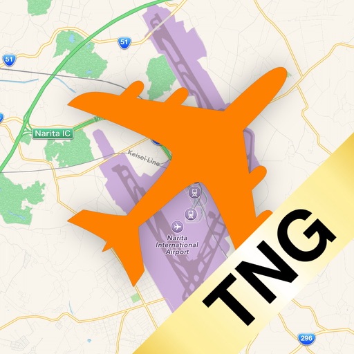
“X-Mapper Lite” is a helper application for X-Plane Desktop flight simulator, which tracks the location of aircraft in the real-world map. *This is a LEGACY APPLICATION for backward compatibility with older versions of X-Plane. If you are using X-Plane 11 as well as X-Plane 10.40 or later, TRY NEWLY RELEASED X-MAPPER TNG (free App) INSTEAD. *This application requires full or demo version of X-Plane 9 or 10 Desktop (for Mac/Windows/Linux). CANNOT used with X-Plane Mobile for iPhone/iPad.
More By This Developer

You May Also Like


POWER SUBSCRIPTION REVENUE GROWTH
