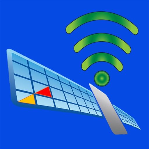
The Wind Display has all key sailing information in context aware analog format. It provides comprehensive wind and heading information in both analog and digital format. It is based on the sailing context: going upwind, downwind or towards a waypoint and enhanced by the polars data. Display 0813 connects to a NMEA 0813 Wi-Fi gateway such as B&G Vulcan, Zeus, GoFree or Yacht Devices NMEA 2000 Wi-Fi Gateway. The supported NMEA 0183 sentences are: BWR: Bearing and distance to waypoint DBS: Depth below surface DBT: Depth below transducer. DPT: depth of water. Note: the Settings/Install sensor offset is added to the value given unless it is received in the NMEA0183 sentence. CGA: Global Positioning System Fix data GLL: Geographic position - Latitude / Longitude HDG: Heading magnetic HDM: Heading magnetic HDT: Heading true MWD: undocumented, based on Vulcan 7FS data, wind direction, wind speed (both magnetic and true) MTW: water temperature (Note: value is red as it is, the Unit is always displayed °C) MWV: Wind speed and angle (both relative and apparent) RMB: XTE, range to destination, bearing to destination, destination closing velocity . RMC: Speed over ground RSA: Rudder sensor angle VHW: Water speed and heading VLW: Distance travelled through water VPW: Speed - measured parallel to wind VTG: Course over ground (T or M), speed over ground VWR: Wind direction (A), wind speed (A) WCV: Waypoint closure velocity XDR: air temperature (°C), water temperature (°C) and barometric pressure (mbar). XTE: Cross track error The following data items ("measurements") are read from the NMEA data stream or derived from these and the boat's polar data.. Waypoint direction (WP dir, °M) Waypoint distance (WP dst, distance unit) VMG waypoint (WP VMG, boat speed unit) Cross track error (XTE, distance unit ) Depth (Depth, depth unit) Heading (Heading, °M) Heading (Heading, °T) Course (Course, °M) Course (Course, °T) Water speed (Speed, boat speed unit) Speed over ground (SOG, boat speed unit) Water temperature1 (Water tmp, °C) Air temperature1 (Air tmp, °C) Air pressure1 (Air pre, hPa) Wind speed apparent (Wind Spd A, wind speed unit) Wind angle apparent (Wind ang A, °) Wind speed true (Wind Spd T, °) Wind direction (Wind dir, °M) Wind direction (Wind dir, °T) VMG Wind (calculated) Latitude (Latitude, DD°MM.mm’) Longitude (Latitude, DD°MM.mm’) Water Distance after reset (Wtr dst, distance unit ) Total water distance (Wtr dst T, distance unit ) Ground distance after reset (Grnd dst, distance unit) Total ground distance (Grnd dst T, distance unit) Velocity made good towards wind (Wind WMG, boat speed unit) Heel (Heel, °) Rudder (Rudder, °) Boat target speed through the water (based on current polar table) Boat speed of target speed (%) Beat VMG boat target speed through the water Run VMG boat target speed through the water3 Leeway (Leeway. °). Calculated difference Course °T - Heading °T See user's guide at https://pbase.com/pekkal/display0183m

Display0183M
View in App StoreGrow your in-app revenue
while we take care of your subscription management.
Mobile
SDK by Qonversion.
Price Intelligence based on:
58,276
apps aggregated
8,172,290
in-app prices defined
89
main categories
In-App Purchase Price (Subscription or Non-Recurring)
vs. average for the Navigation category, $, by region
Build, analyze, and grow in-app subscriptions
with the most powerful mobile SDK for subscriptions
Description
Display0813M is a customisable app for sailors for NMEA information on iWatches, iPhones, iPads and Macs. It provides up to 27 configurable displays with a selection of over 30 sailing measurements from the boat’s NMEA network and polar tables. For each measurement the minimum and maximum values and a time series graph are available. The polars data is interpolated: instead of just the tabulated data points also intermediate wind and boat speed data is available based on (bi)linear interpolation.
More By This Developer

You May Also Like


POWER SUBSCRIPTION REVENUE GROWTH
