coming soon
Ready to scale your App's Growth?
Get real-time data on your App's performance and price intelligence rating based on millions of other apps analyzed


Here at Conversion, we focus on returns. We're dedicated to scaling your brand with paid advertising. Break free and take your brand to next level.
Services
All-In-One Solution
Build, track, analyze, and grow in-app subscriptions for mobile apps with our powerful tools


Highlights
All about Subscription Apps
Read our blog posts to learn more about Subscription Apps Growth

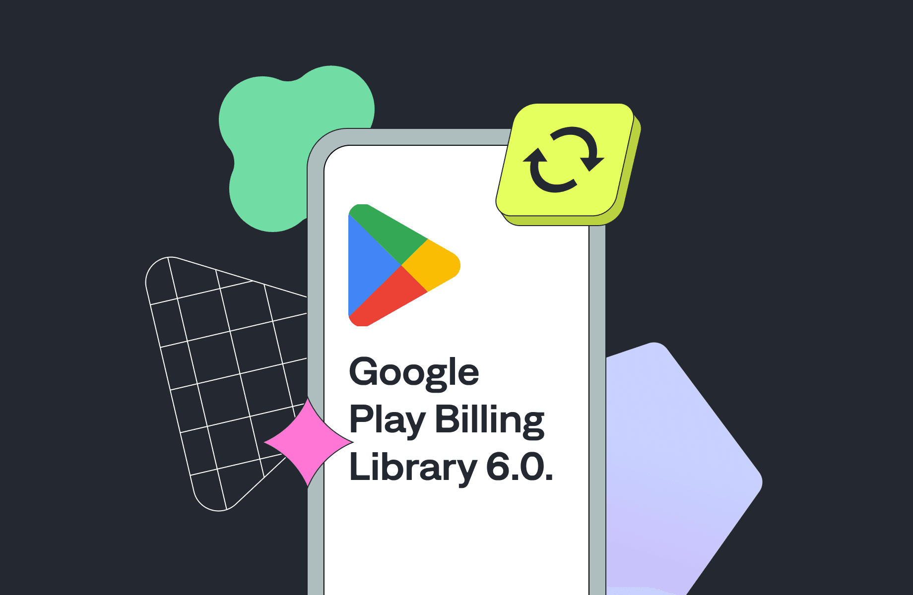
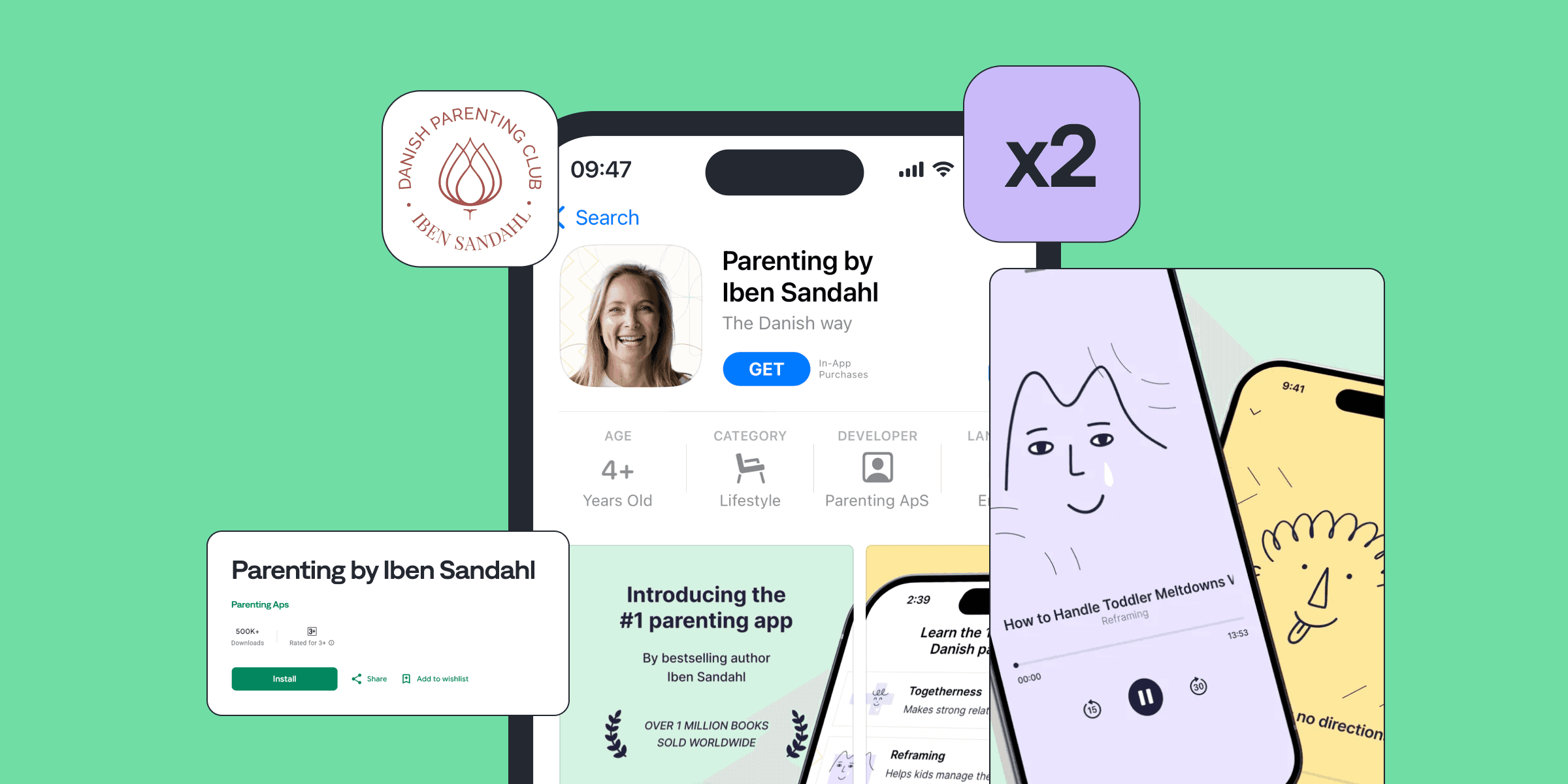
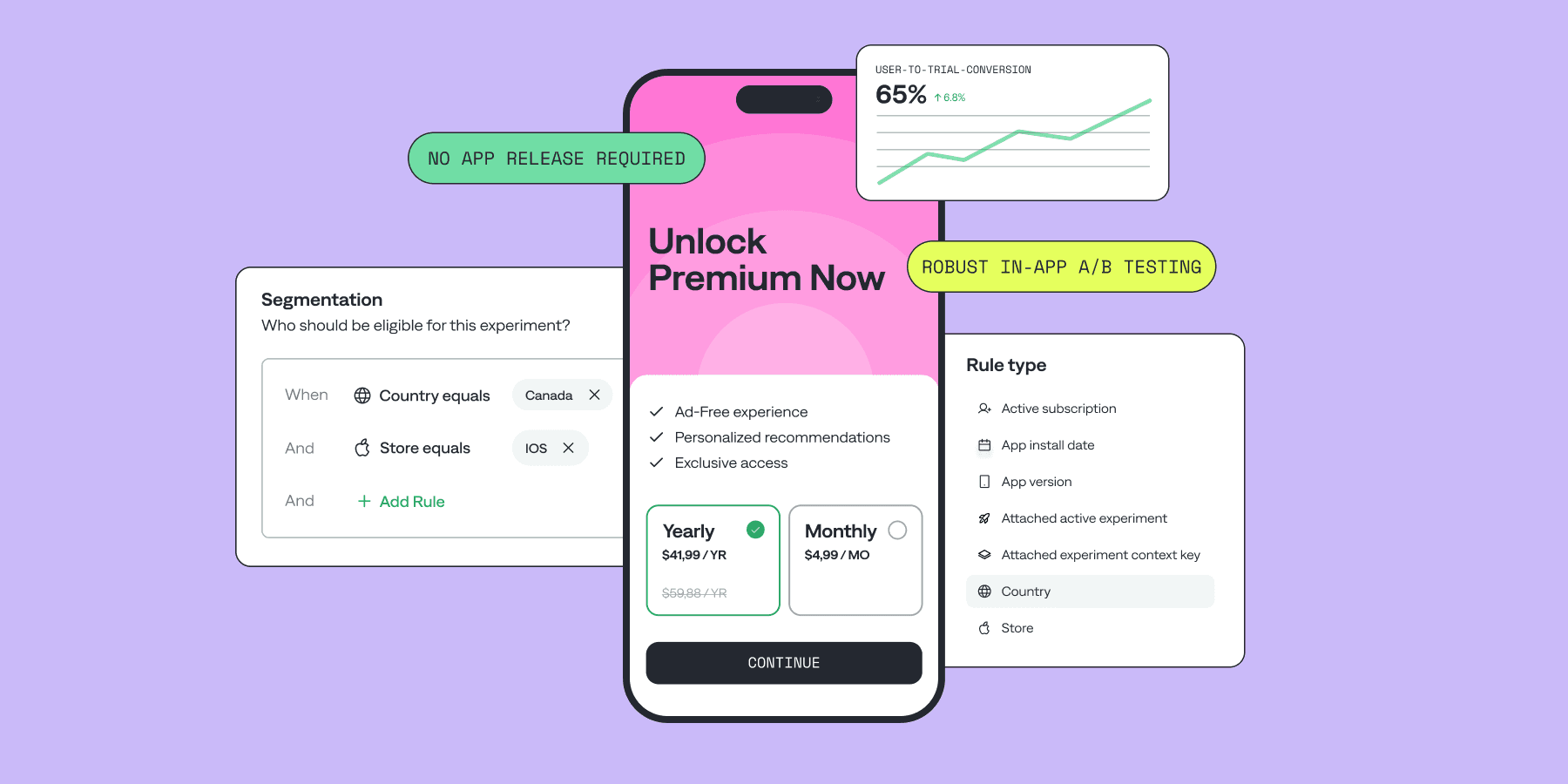
Beginners Guide to Paywall A/B Testing: Examples and Experiment Ideas You Can Try Today
© 2024. Qonversion Inc.